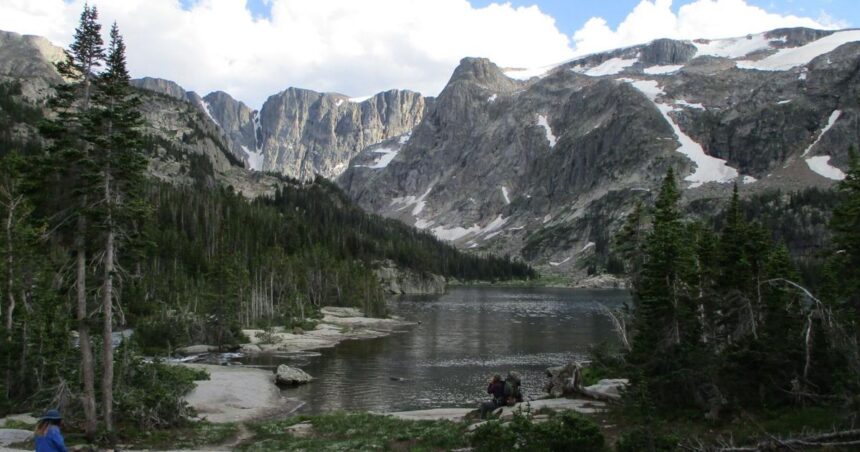
With its sheer cliff walls, emerald blue lakes and waterfalls, the East Rosebud Canyon in the Beartooth Mountains would probably be a national park if it were located anywhere else, Bill Schneider said.
“I don’t think people know how fortunate they are to have the Absaroka-Beartooths,” he said referring to the wilderness area that encircles the Rosebud. “It’s such a wonderful place. It’s like a national park only better because its more scenic, there are more recreational opportunities and fewer regulations.”
Schneider literally wrote the book on “Hiking the Absaroka-Beartooth Wilderness,” a 943,600-acre protected area in south-central Montana dotted with more than 900 lakes, about one-third of which have been stocked with fish. Nine major waterways carved scenic drainages in the region, and Granite Peak – the tallest mountain in Montana at 12,799 feet – rises above the jagged landscape.
People are also reading…
Bill Schneider poses for a portrait at his Helena home on June 11.
This year, Schneider updated the guide, its fourth edition. The update includes a note that the 2022 flood destroyed portions of the East Rosebud trail, more popularly known as the Beaten Path. A bridge at the base of Rimrock Lake was also washed out, meaning hikers have to ford East Rosebud Creek. That’s unadvisable at high water, Schneider noted.
Richard Stiff, former High Mountain Lakes survey coordinator for Montana Fish, Wildlife & Parks, provided fishing information in the book.
Schneider also updated “Best Easy Day Hikes Absaroka-Beartooth Wilderness,” another fourth edition. This offers details on 29 hikes. Both are available at stores carrying FalconGuides as well as online.


