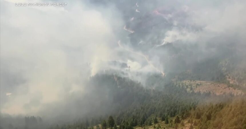
MISSOULA — The Miller Peak Fire southeast of Missoula had burned over 1,700 acres as of Tuesday evening.
The sudden size increase from Monday was reported by the Lolo National Forest which made a more accurate measurement due to ideal weather conditions.
Miller Peak Fire Evacuation Warning Map
A Northern Rockies Complex Incident Team took command of the wildfire at 6 a.m. on Tuesday and is working with the Lolo National Forest.
Members of that team said in a video on the fire’s Facebook Page they have made good progress in stabilizing the fire by sending hand crews along the edges of the fire to prevent it from spreading.
There are 134 people on the Miller Peak Fire including 9 engines, 2 helicopters, and 1 hand crew. The blaze remains 0% contained as it burns in steep and rugged terrain 8 miles southeast of Missoula.
Fire managers say the top priority while fighting the Miller Peak Wildfire is to protect homes in the Miller Creek area as well as structures on Miller Peak and along the I-90 corridor.
Hot and dry weather plus the chance for thunderstorms on Wednesday may impact fire behavior.


