Last Friday (June 21, 2024) marked the most significant severe weather day of the year for Montana thus far, and I seized the opportunity to step out of the studio and into the grassy plains of Big Sky Country.
The storm brought powerful winds, heavy rain, and even hail to various areas, impacting communities such as Hobson, Geraldine, and Buffalo.
My chase led me first to Fort Benton in Chouteau County. Within a few hours of my arrival, this town with a population of just under 1,500, situated along the banks of the Missouri River, found itself directly in the path of one of the day’s most potent supercells.
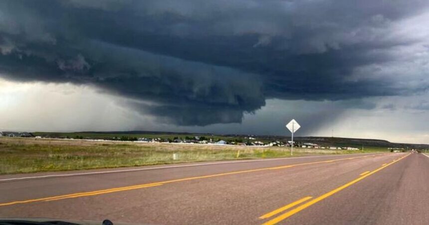
While observing smaller storms to the north, a discrete, severe-warned supercell emerged to the northwest, making its way towards the town. I repositioned a couple of miles to the north to secure a good vantage point. As the storm drew closer, a well-defined shelf cloud came into view.
This particular storm was warned for hail the size of golf balls and wind speeds exceeding 60 miles per hour.
Feeling the storm getting uncomfortably close, I retreated southwest towards Great Falls. However, I was overtaken by the thunderstorm outflow. These gusty winds, known as an “outflow boundary,” function like a mini cold front, capable of sparking new storms in their aftermath.
One of these new storms materialized directly over Highway 87, with penny-sized hail visible within the rain shaft.
Despite the intensity of the storm, a vibrant double rainbow greeted me as the day came to a close.


