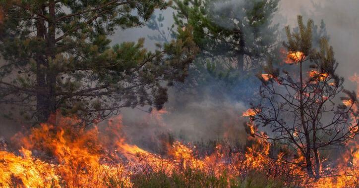
Wildland firefighters responded Sunday afternoon to a new wildfire west of Lost Trail Pass, just barely within Montana, as a separate fire to the northwest in the Selway-Bitterroot Wilderness filled the Bitterroot Valley with smoke.
Crews were dispatched to the Hughes Point fire at 3:33 p.m. Sunday. The fire was discovered burning about 5.4 miles southwest of Lost Trail Pass on U.S. Highway 93 at the Montana-Idaho state line. That’s about 4.6 miles southwest of the high point of Lost Trail Ski Area on Lewis and Clark Ridge.
The fire is on the southwest point of a ridge that extends west from Hughes Point in the upper reaches of the Hughes Creek drainage. The fire is in Montana but only about 1.4 miles from the state line to the east.
Bitterroot National Forest officials stated in their initial announcement of the fire Sunday afternoon that it was estimated at about 40 acres. At that time, initial attack of the fire included 13 smokejumpers — wildland firefighters who parachute into the area of a fire from an airplane — a wildland fire engine crew, a small suppression crew, five helicopters and multiple large air tankers dropping retardant.
People are also reading…
By late morning Monday, the forest stated that the fire was about 60 acres. The Lolo Interagency Hotshot Crew was assigned to the fire and a second crew was ordered. Aircraft flight tracking data Monday morning showed a slew of large air tankers, each with a 3,000-gallon retardant capacity, working the area of the Hughes Point fire.
Alexandra Stuart, a public information officer for fire management on the Bitterroot, said around 2:45 p.m. Monday that the fire was likely smaller than 60 acres; smoke had made it difficult to accurately size up the fire. A more accurate acreage would be released later Monday, she said. One heavy-lift helicopter and four large air tankers continued to work the fire Monday.
Stuart said that the second hotshot crew on order may not be needed or deployed to the fire. There was some firefighting activity based out of the ski area, she said, but the ski area itself was not at risk.
“There’s no actions being taken for the ski area. The helipad is there, that’s where they’re flying out of,” she said. “There’s no threats right now to backcountry yurts, no other values at risk right now.”
Meanwhile, a fire deep in the Selway-Bitterroot Wilderness about 31 miles west of Hamilton degraded air quality in the Bitterroot Valley.
The Wye fire was discovered around 10 a.m. Thursday, July 25, on the north side of East Fork Moose Creek about 8 miles northeast of the Moose Creek backcountry airstrip and the confluence of Moose Creek into the Selway River.
The lightning-caused blaze rapidly grew to an estimated 7,000 acres in a day and inundated the Bitterroot Valley to the east with smoke. Air quality reached “hazardous,” the most severe of six levels, on Thursday evening, and it hit “very unhealthy,” the second-most-severe level, Friday morning. Air quality Monday morning was “unhealthy for sensitive groups,” the third of the six levels.
It was unclear how large the Wye fire had grown by Monday morning. On InciWeb, a national database of emergency incidents, officials stated Friday that the fire was “Currently unstaffed due to higher priority fires closer to populated areas and communities.”
The fire’s acreage hadn’t been updated since midday Friday, but satellite detection of heat signatures showed that the fire may have pushed east up East Fork Moose Creek and around the southern flank of Bell Point by Monday morning.


