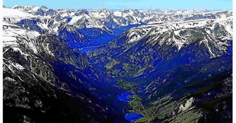
Waterways in the shadow of the Beartooth Mountains are on the rise with snowmelt, but the chances of another 2022 flood are low.
The National Weather Service put the Clarks Fork of the Yellowstone River under a flood watch in anticipation of a potential storm over the mountains on Sunday. Meanwhile, river flows across the state will be reaching their peaks going into next week.
As of Saturday morning, National Weather Service Meteorologist Logan Torgerson said, there was about a 40% chance of the Clarks Fork of the Yellowstone River reaching flood stage as it flows near Belfry and Edgar in Carbon County.
Snow accumulation in Montana has ended for the year. Going into June, the mountains in Southern Montana received normal or near normal precipitation, according to the latest water supply outlook from the U.S. Department of Agriculture. Following several storms throughout May, the snowpack in the Upper Yellowstone basin, which includes Yellowstone, Carbon and Stillwater counties, was also near normal.
People are also reading…
“Normal peak streamflow dates range from mid-May to early-June in Montana,” the report said. “Montana’s primary snow accumulation season has ended and weather over the next two weeks will dictate if higher streamflow peaks occur and the timing of total available streamflow over the next couple months.”
Measurements from the U.S. Geological Survey on Saturday showed waters on the rise across the state. Rock Creek, which overflowed in June 2022 and tore through a portion of Red Lodge, was flowing at about 7 feet deep. The Clarks Fork of the Yellowstone near Belfry had a depth of about 6.8 feet, and downstream near Edgar the river was nearly 8 feet deep. The river is considered to be at flood stage when it reaches 9 feet.
“Everybody’s still on guard,” Carbon County Disaster and Emergency Services Coordinator Cyrina Allen, “because ’22 wasn’t that long ago.”
That year, snowmelt and rainfall in the Beartooth Mountains sent a rush of water throughout the region, blasting away homes and roads in its path. The destruction prompted Montana Gov. Greg Gianforte to declare a statewide disaster and brought federal relief workers into Carbon, Park and Stillwater counties.
One notable distinction between the snowmelt this year and 2022, Allen said, has been the recent lack of precipitation over the mountains. Regardless, she said she and other emergency agencies are keeping a constant watch on river levels. She also encouraged Carbon County residents to sign up for Carbon County CODE RED, which sends emergency alerts via cell phone and email. On Friday, runoff shuttered access to Glacier Lake Road, south of Red Lodge.
Thunderstorms in the forecast for Sunday afternoon prompted NWS’s flood watch for the Clarks Fork of the Yellowstone River, but Torgerson said even that isn’t expected to bring more than a quarter of an inch of precipitation. The Clarks Fork of the Yellowstone River feeds into the Yellowstone, which is similarly on the rise, rising from just under 7 feet deep at the start of the month to over 10 feet by Saturday.
“There’s still plenty of room in the Yellowstone for the Clarks Fork to empty into,” Torgersen said, “so it’s not a major concern for us right now.”


